How weather forecasts are produced To produce weather forecasts, several large meteorological centers throughout the world take raw meteorological data gathered from weather stations all over the world — known as "global data" — and perform simulation modeling on it, explained Mahalov. However, in many areas, meteorological data is sparse and accurately forecasting a transient phenomenon such as CAT in such areas is, today, all but impossible. Accurate computer-generated forecasts would be invaluable.
Every time a center wants to produce a forecast for a given future date (such as the standard 48-hour, one-week, and two-week forecasts the major centers produce every six hours), or to "zoom in" to produce a detailed forecast for a limited geographical area, it must solve — often repeatedly — the vastly complex Navier-Stokes equations.
These 19th-century equations — so complex that in 2000 the Clay Mathematics Institute in Cambridge, Mass., offered a millennium prize for anyone producing a mathematical theory that would provide a proper understanding of them — describe the movement of air as a fluid, said Mahalov.
Solving the Navier-Stokes equations to produce detailed forecasts for limited areas or conditions — a process called "nesting" — takes enormous computer capacity, so forecasts can only be carried out at centers that have very powerful supercomputers. These include centers such as NOAA's National Weather Service and the NCAR in the U.S., the UK Meteorological Office and the European Center for Medium Range Weather Forecasting in England, and the Laboratoire de Meteorologie Dynamique at the University of Paris.
But in producing high-resolution forecasts it is important to be able to solve the equations as efficiently as possible — in terms of both the energy used and the number of computations required — and to know how much uncertainty there is in the forecast, said Mahalov. For instance, it is little use forecasting that there will be CAT in a given geographical area if the forecaster can’t say at what height or in what patch of the sky it is most likely to be found.
Using multicore supercomputers to forecast
So, working with industrial partner Intel, Mahalov is applying newly developed nesting techniques to perform data simulation modeling of CAT, using "very new" technology that employs supercomputers with "multicore" parallel-processing chips.
These chips, which Mahalov said offer "unprecedented computing power," each contain many separate processors. As a result, a multicore computer the size of a shelf of books is as powerful as "many rooms" full of previous-generation supercomputers, he said.
Mahalov aims to take advantage of real-time reports of CAT obtained from meteorological sources and aircraft in flight. Airline pilots usually report CAT when they encounter it, often at the specific behest of FAA air traffic controllers monitoring their flights. Data on CAT presence can be generated by satellites monitoring atmospheric weather movements and (more accurately) by LIDAR instruments mounted in research aircraft or at ground stations.
Incorporating real-time data into a data simulation model helps make it more accurate, and is known as "nudging" the model in the trade.
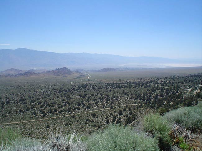
In similar fashion, Mahalov is using the frequent "campaigns of measurements" conducted in the skies above the Owens Valley in California to benchmark and verify his multicore-computed CAT modeling.
The combination of strong winds and the Sierra Nevada mountains create lots of CAT in the skies above the Owens Valley, "particularly in spring, and aircraft are always flying to measure it," said Mahalov.
"Some very special days were selected when turbulence was very strong," he added. "We will benchmark and validate our model for these special campaigns of measurements. The question is whether our models can predict this" strong CAT accurately.
If they can, then in the future airline passengers may be able to travel without having to worry so much about their flights experiencing sudden bumps.